Picture set
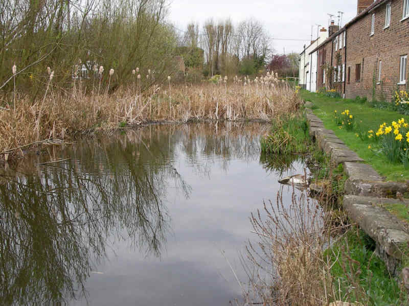
1 - Framilode to Saul Junction.
This length of canal
was effectively bypassed when the Gloucester & Berkeley Canal
opened in 1827. However, it continued to provide an important link to
the Bullo Pill Dock which was a major outlet on the opposite side of
the River Severn for Forest of Dean Coal. It is thought to have last
been used in about 1936.
|
|
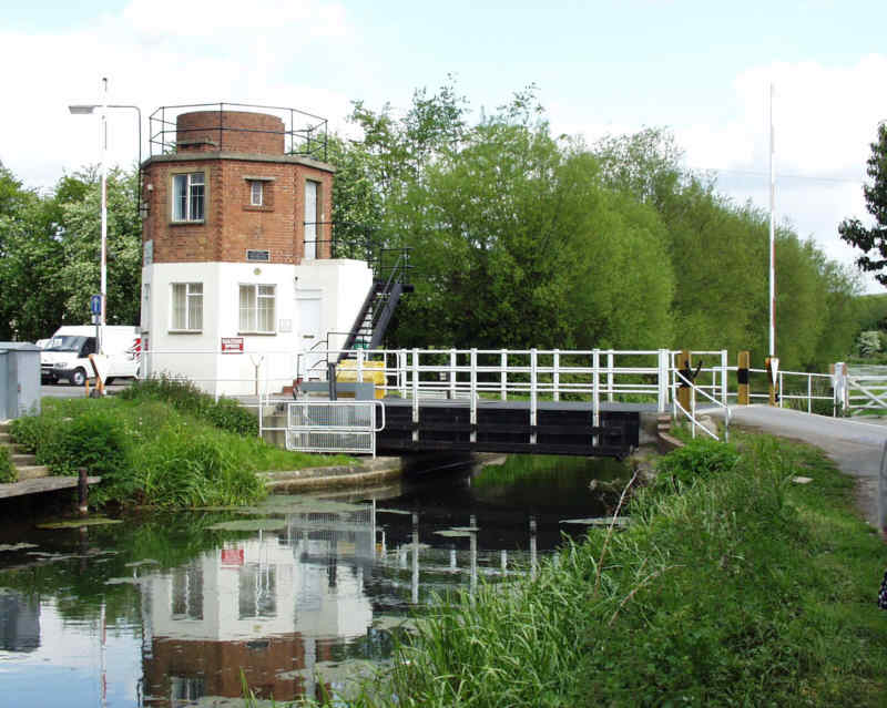
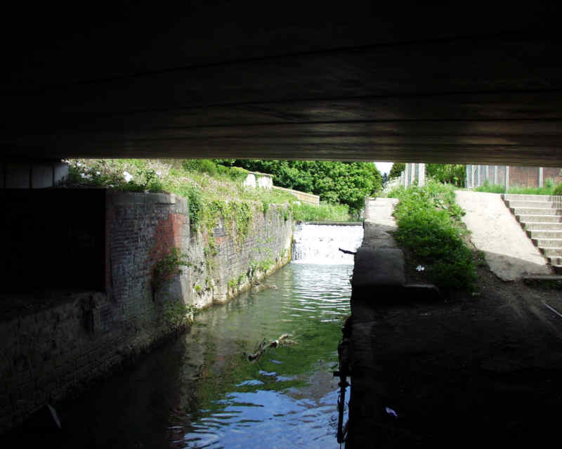
Picture set 2 - Saul
Area
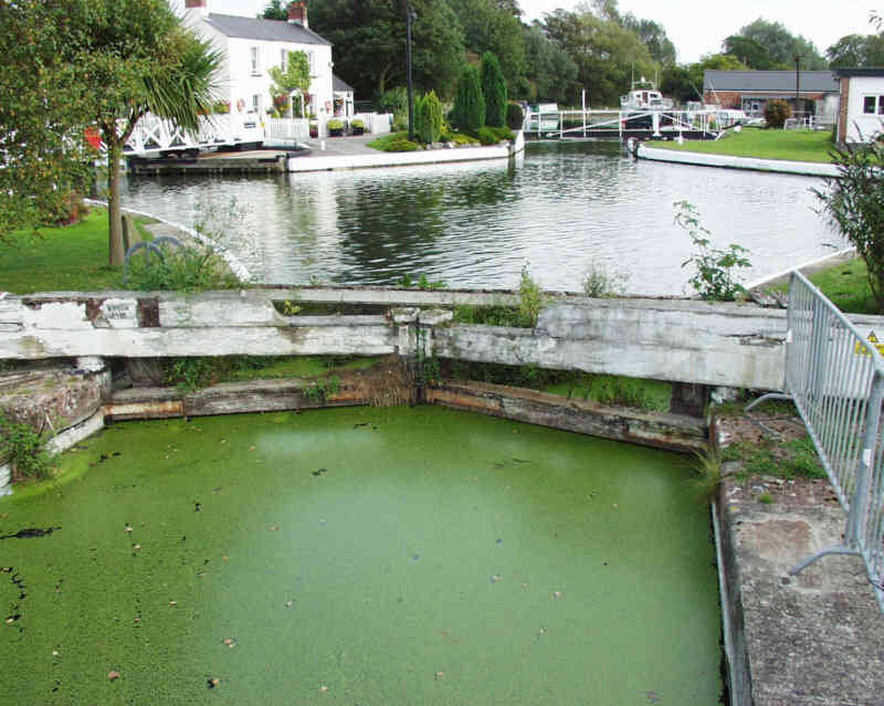
At Saul, a
crossroads was made between the Gloucester & Berkeley Canal and the
older Stroudwater Navigation. A series of gates, combined with Junction
Lock, enabled either canal to operate with any part of the other empty.
The
Canal & River Trust has replaced the old lock gates in Junction
Lock with new ones since this photo was taken but the lock is
non-operational as the route immediately below it is blocked.
|
|
Picture set 3 -
Whitminster Area
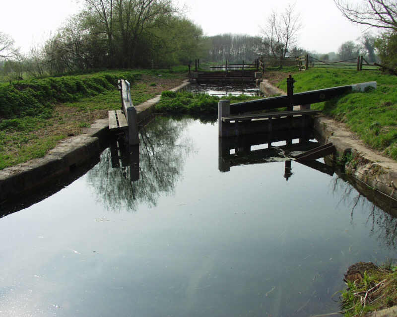
This length covers
from Whitminster Lock, which is about 1 Km east of Saul Junction, to
the
A38 where the canal was destroyed by road schemes in about 1969.
|
|
Picture set 4 -
Eastington Area
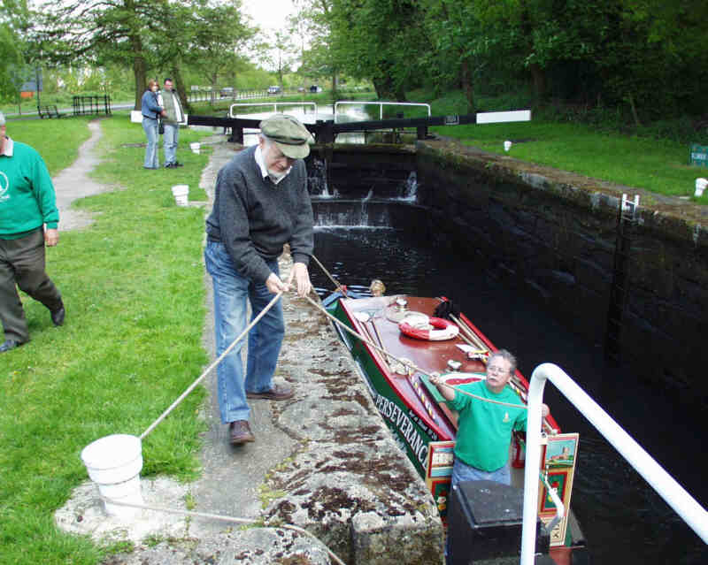
The M5 intercepts
the route of the canal before the canal reappears at Westfield Lock,
the lowest of 5 locks in the Eastington Flight. The other 4 locks have
had extensive restoration work carried out to them and the top two are
operational. Pike bridge was rebuilt in 2005, the original having been
destroyed when the M5 was built as part of road improvements.
|
|
Picture set 5 -
Bonds Mill
The canal continues
eastwards via Bonds Mill where the world's first plastic road bridge
was installed in 1994 to replace a fixed swing bridge before passing
along the top of a high embankment. The missing railway bridge at the
end of this length is probably the most expensive obstruction to
rectify on the Stroudwater Navigation. The section east of this railway
is know as Phase 1A and has been restored to full navigation.
|
|
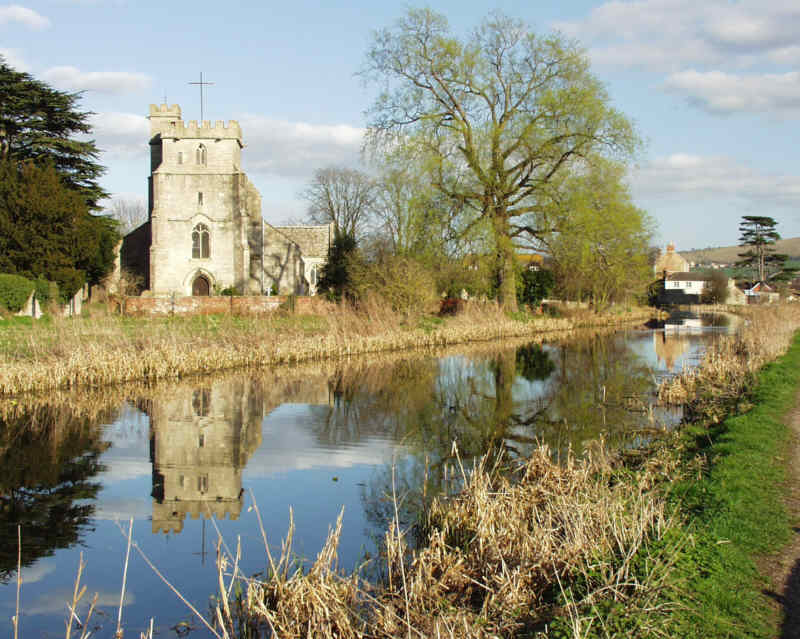
Picture set 6 -
Stonehouse Area
This length has some
of the most scenic and well known views to be found along the canal. It
starts with a wide area of water known as the ocean and follows the
long pound that leads to Ryeford Double Lock. The whole section has
remained in water throughout and is now fully restored.
|
|
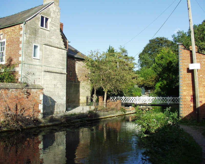
Picture set 7 -
Ryeford
The canal passes
from Stonehouse to Ryeford before reaching Ryeford Double Lock, the
only double lock on the Stroudwater Navigation. Above the lock, the
canal was left dry after a substantial length was infilled around Ebley. This section is now navigable as part of the Phase 1A length.
|
|
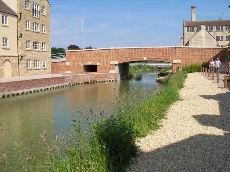
Picture set 8 - Ebley
It is in this area
that some of the greatest changes have taken place to the canal in
recent years. Bridges have been rebuilt and long infilled lengths
re-excavated.
|
|
Picture set 9 -
Dudbridge
The canal in this
area was converted into a flood relief channel with the water level
much reduced. Restoring the water level whilst also preventing flooding
is one of the challenges facing this part of the canal. This
section, including the locks, is now navigable as part of the Phase 1A
length. A hydro scheme has been installed to generate power from the
surplus flow of water in this length. The proceeds help pay for the
maintenance of the canal.
|
|
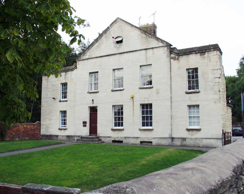
Picture set 10 -
Stroud
The canal continues
to Stroud passing two more fixed former swing bridges. The terminal
basin at Wallbridge has been filled in and is now a yard. The former
headquarters building of the Canal Company survives but is no longer in
their ownership. The Thames & Severn canal leaves the Stroudwater
on the north side.
|
|
|
|